Mar 16
2021
Introducing CARIS Collect
Teledyne CARIS, in partnership with Teledyne Marine, is leveraging years of leadership in the marine survey market to create CARIS Collect, a modern and easy to use module for data acquisition that fits seamlessly into your survey operations.
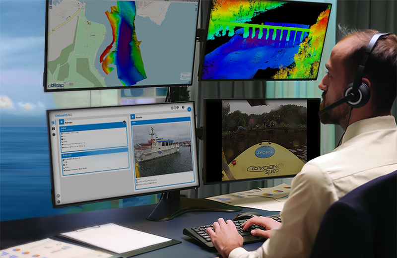
Teledyne CARIS’s suite of software is designed to bring efficiency and confidence to survey operations by combining CARIS Collect's simple and effective data collection for sonar and lidar systems with CARIS Onboard's efficient automated data processing and remote monitoring.

Ease of use
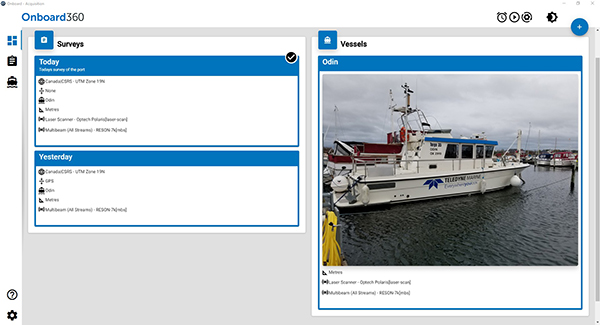
A fresh interface for creating and managing projects and vessels in CARIS Collect allows for quick and easy setup of your marine survey. With an intuitive user experience, CARIS Collect is easy to integrate into your operations and allows new operators to get up to speed quickly.
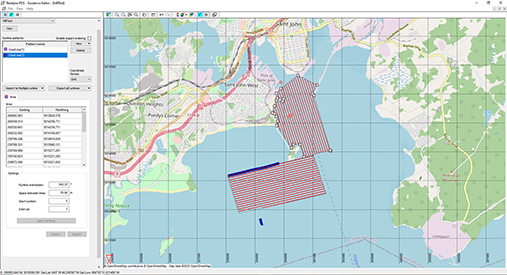
CARIS Collect provides tools for interfacing and collecting all of the sensor streams necessary to complete high quality and professional survey projects. Support is offered for multibeam, singlebeam sonars, laser scanners, navigation and sound velocity sensors. Interactive tools can be dynamically arranged to customize online displays for running pre-planned and free-hand surveys. The survey planning tool allows planned survey lines to be generated and loaded into a project for use in map and helmsman views. Online views allow raw and georeferenced data streams to be viewed live in 2D/3D and waterfall displays. Online adjustments for sound velocity and water levels can also be applied during data collection.
True Ping-To-Chart
With the release of CARIS Collect, customers can enjoy the full value of having a complete CARIS Ping-to-Chart solution. The solution provides tools for the entire Hydrographic survey workflow, starting with the data collection and processing, through to data management, products, and distribution services.
CARIS Collect provides a seamless flow of data into the Ping-to-Chart workflow with all raw data, auxiliary files, vessel parameters and computed solutions (eg. GPS Tide). When coupled with the CARIS Onboard, logged data is imported and processed automatically during the survey, allowing near real-time and remote quality monitoring of the survey progress.


