News
Teledyne CARIS Training in Indonesia and Sri Lanka
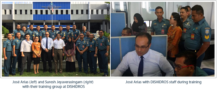
From April 4 to 15, Dinas Hidro-Oseanografi (DISHIDROS), or the Hydro-Oceanographic Office of Indonesia, participated in up to date and focused training on the use of CARIS Bathy DataBASE™ (BDB) and advanced hydrographic production using CARIS HPD. The training sessions were attended by ten participants from DISHIDROS and led by Product Manager-Publications Module, Suresh Jeyaverasingam and Team Lead Processing, José Arias.
The primary purpose of the training seminar was to teach the capabilities of BDB and workflows for data integration with HPD to enhance charting operations for Indonesian waters. The on-site training sessions also provided opportunity to explore the production of other nautical products, such as nautical publications via Publications Module™, and the web based sharing of marine spatial information in support of Spatial Data Infrastructure (SDI) using Spatial Fusion Enterprise™(SFE).
Together with the students, José and Suresh were able to successfully solve outstanding production issues experienced by the team and educate them on best use of production tools found within HPD 3.1. They also assisted the Indonesian production team with support file customizations. DISHIDROS is well versed with the Ping-to-Chart™ workflow, and as always, were excellent hosts to the Teledyne CARIS instructors.

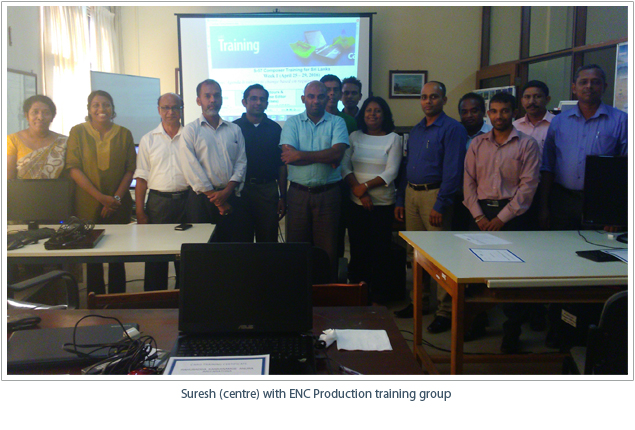
Following trainings in Indonesia, Suresh then continued his travels to Colombo, Sri Lanka to meet with the National Hydrographic Office (NHO), National Aquatic Resources Research and Development Agency to conduct an Electronic Navigational Chart (ENC) production course from April 25 to 29.
During the training NHO students learnt how to utilize both CARIS S-57 Composer and BASE Editor™ software. In addition, Suresh was able to take the trainees through an ENC production workflow using a sample Sri Lankan data set and the CARIS software.
NHO reported an enjoyable and educational training session, and were also excellent hosts to Suresh. The up to date training will allow NHO, to apply the in-depth capabilities of the software to their cartographic production.

Join our Mailing List
Subscribe to email announcementsOur Latest Tweets
Tweets by Teledyne CARIS Follow us on TwitterConnect With Us

