News
LINZ releases BSB format RNCs using CARIS HPD
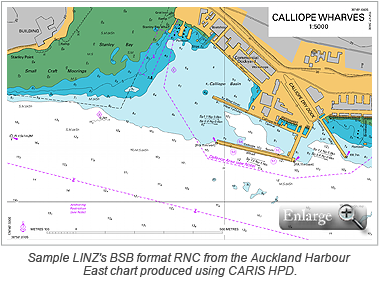
 In keeping with its mandate to make data more accessible to as many people as possible, Land Information New Zealand (LINZ) is now offering its Raster Navigational Charts (RNCs) free online in BSB format.
The charts were produced using the CARIS Hydrographic Production Database (HPD) Raster Module following onsite training and a pilot project to migrate LINZ's existing raster base data to HPD. LINZ originally implemented HPD in 2006 to advance nautical chart and Electronic Navigation Chart (ENC) production. The move to HPD for raster charting will save LINZ a lot of time and effort as the charts will now be maintained in a centralized database repository along with LINZ's other hydrographic products and the associated source data.
The BSB charts released by LINZ are unencrypted and can be used on a wider range of electronic charting systems. This is expected to help the uptake of the charts among recreational boaters, as well as professional mariners and open opportunities to software developers.
The free online RNCs are available in BSB format on LINZ's website.
Join our Mailing List
Subscribe to email announcementsOur Latest Tweets
Tweets by Teledyne CARIS Follow us on TwitterConnect With Us

