News
Seamount Named after CARIS Employee
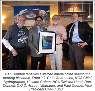
Having a seamount named after you is a rare distinction, and CARIS employee Dan Donnell has received this honour.
The Donnell Seamount is located at 50º05.1338”N and 45º21.5796”W and has a summit depth of 1893 meters.
Dan Donnell receives this honour following 40 years of U.S. government service with the Naval Oceanographic Office and the National Geospatial-Intelligence Agency (NGA). At the NGA, Donnell was the key person in developing the workflow within the bathymetry division, and was considered the agency expert on most bathymetric data handling.
Dan Donnell joined CARIS, the world’s leading marine GIS organization, in February 2010 and now works on a team with SAIC (Science Applications International Corporation) managing the Seafloor Earth Reference System and GNS II.


Join our Mailing List
Subscribe to email announcementsOur Latest Tweets
Tweets by Teledyne CARIS Follow us on TwitterConnect With Us

