News
CARIS event at UK Hydrographic Office
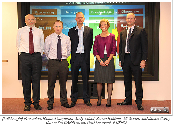
The United Kingdom Hydrographic Office (UKHO) ran an event entitled CARIS on the Desktop on November 13 and 14, 2012. The event was intended to show staff how their desktop would look in the future: how surveys will be handled, charts constructed and data maintained.
In total 350 staff attended over the two days and gave enthusiastic feedback on the event and the CARIS software on display.
In the opening presentation, Andy Talbot, from the UKHO Bathymetric Data Centre, showed just how the processing of bathymetric surveys has moved on in the last few years through the use of CARIS HIPS and SIPS and Bathy DataBASE. Hydrographic Database Development Manager, James Carey, outlined how the UKHO will be using CARIS HPD both to maintain the core database of geospatial features and to generate charts and other products. Finally, Operations Transformation Programme Manager, Simon Baldwin, painted a picture of how a transformed UKHO production flow line will look and feel.
The sessions concluded with opportunities to see four live demonstrations, which showed the handling of bathymetry, the management of spatial data, the generation of UKHO products, and the ways that data and products can be visualized and distributed over the web using Spatial Fusion Enterprise.
There were also plenty of posters showing the ways in which CARIS tools have been used. Many of these had originally been presented at the CARIS 2012 conference in Vancouver. The UKHO would like to thank those contributors for allowing them to make use of the posters.
Thanks also go out to Phil Corrick and Trish Groves from CARIS who were on hand to answer questions.
Join our Mailing List
Subscribe to email announcementsOur Latest Tweets
Tweets by Teledyne CARIS Follow us on TwitterConnect With Us


