News
CARIS LOTS training in Jamaica
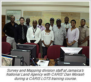
 Dan Morash from CARIS was recently in Kingston, Jamaica teaching a five-day training course with the National Land Agency’s Survey and Mapping division on CARIS LOTS.
The objective of the National Land Agency is to produce the most accurate equilibrium line possible between Jamaica and the Cayman Islands in the hope that a boundary agreement can be made following submission of a detailed report to the United Nations. Jamaica is the latest Caribbean country to use CARIS LOTS to help define their national boundaries.
Published 2012-01-27
Join our Mailing List
Subscribe to email announcementsOur Latest Tweets
Tweets by Teledyne CARIS Follow us on TwitterConnect With Us

CARIS HIPS & SIPS Professional
