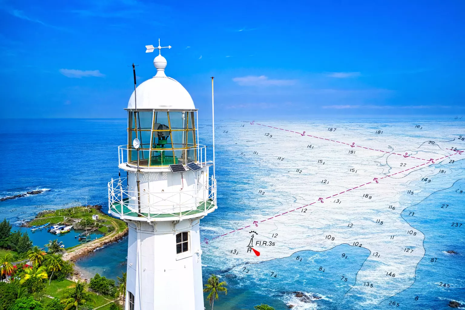
Using real-time data processing and precision chart production technologies, we enable hydrographic offices, survey companies, and port authorities globally to map with confidence.

For more than 45 years, Teledyne CARIS has helped marine professionals turn complex seabed data into clear, dependable marine information. Our expertise in hydrography and marine mapping gives national charting agencies, survey companies, ports, and defence teams the tools they need to work faster, maintain accuracy, and meet the highest industry standards.
Grounded in real‑world hydrographic workflows, our software streamlines sonar data processing, strengthens large‑dataset management, and supports the creation of reliable charts for navigation and operational decisions. With deep market expertise and proven technology, CARIS empowers organisations to modernise their workflows and keep pace with the demands of today’s marine environment.
(Image supplied by UK Hydrographic office)

Find the tools and guidance you need to work confidently with CARIS software. Our Learning & Support area provides the resources and expert guidance you need to maintain and operate your CARIS software effectively.
Visit Learning & Support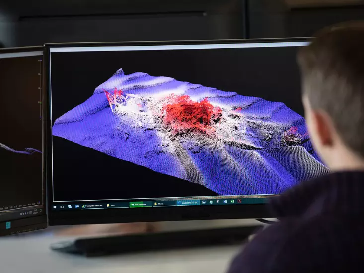
Company
27 April 2026

IN PERSON
26 - 29 April 2026

IN PERSON
18 - 22 April 2026
Company
13 April 2026

IN PERSON
23 - 26 March 2026

IN PERSON
10 - 12 March 2026

Company
03 April 2025

Company
11 September 2024

Company
20 June 2024
Company
27 April 2026
Company
13 April 2026
Company
03 April 2025
Company
11 September 2024
Company
20 June 2024


